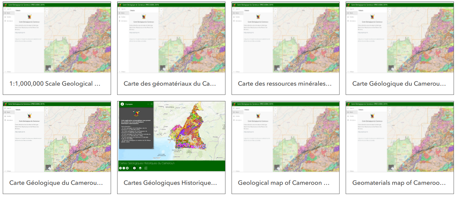
Lobe-kribi Iron ore
Estimated reserves : 632.82 MT @ 33% Fe
US$38 million annual revenues
Bipindi-Grand Zambi Iron ore
Estimated reserves : 150 MT @ 33% Fe
Colomine Gold
1867 kg gold metal
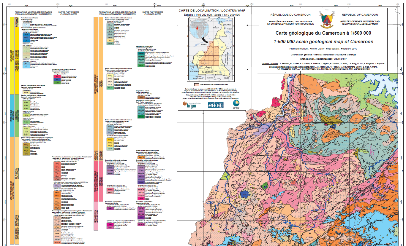
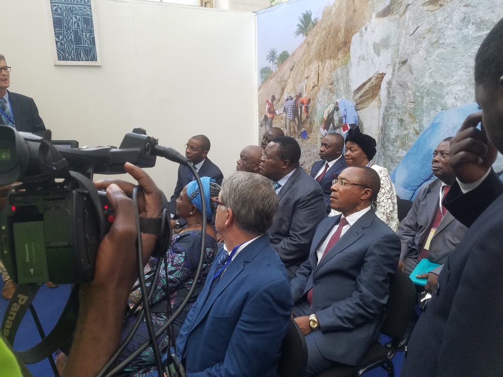
MINMIDT
If it is true that our country has a subsoil rich in mineral resources, the mining sector, excluding oil, contributes only 1% of the Gross Domestic Product.
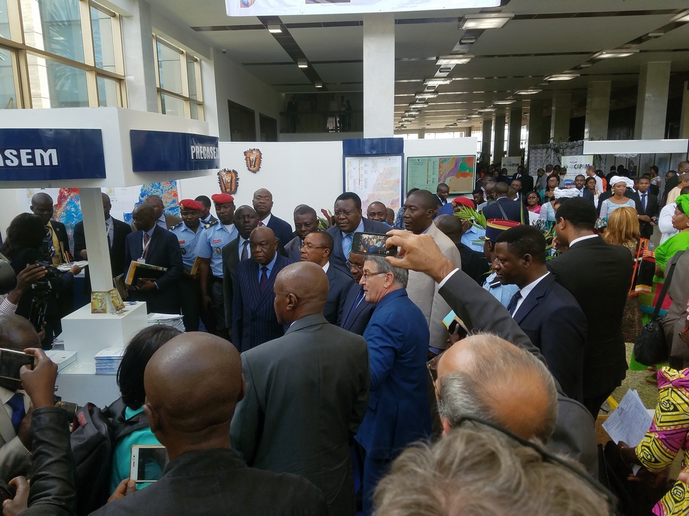
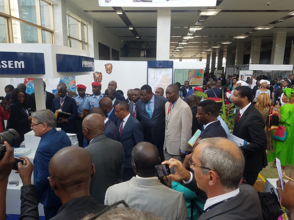
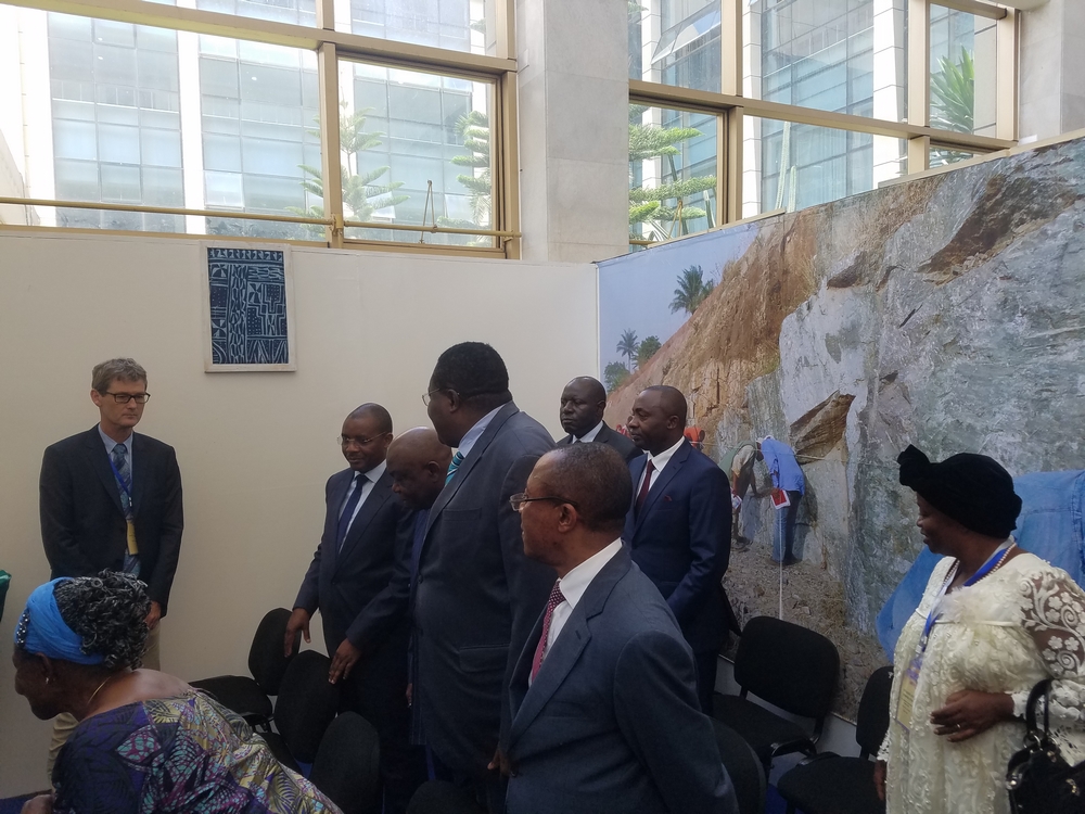
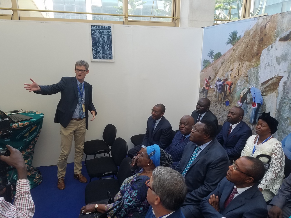
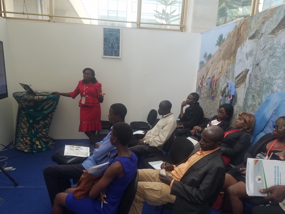
CIMEC 2019